On September 15, the birthday of Petru Bănărescu, a distinguished figure in Romanian ichthyology, we are launching our OpenFishMaps database to the general public. Since there are many fish species for which information received from fishermen has greatly contributed to defining their distribution areas more accurately (for example Asp, Sterlet, Razor fish, Carp, Pikeperch, Volga pikeperch, etc.), we believe that the use of this database can significantly help in a clearer understanding of the distribution of fish species. In most cases, these are species that any experienced angler can easily identify. To ensure that such information is not lost, we have created a platform where this data can be uploaded and accessed publicly. At the same time, the database also includes a more advanced interface where researchers can upload their records. This interface is based on the data sheet used by the Milvus Group’s ichthyology experts and is designed primarily for professionals working in conservation and research.
In conclusion, the app which you can download from Google Play or App Store is suitable for both anglers and specialists.
If publishing the location of a species could put it at risk, the observational data can be hidden. In such cases, only the contributor and the database administrator can view them, thereby ensuring the protection of the species’ populations. For this reason, all data regarding certain species are encrypted (for example, all sturgeon species, Huchen, Mudminnow, Grayling, etc.), so that they can only be seen by the contributor and the database administrator.
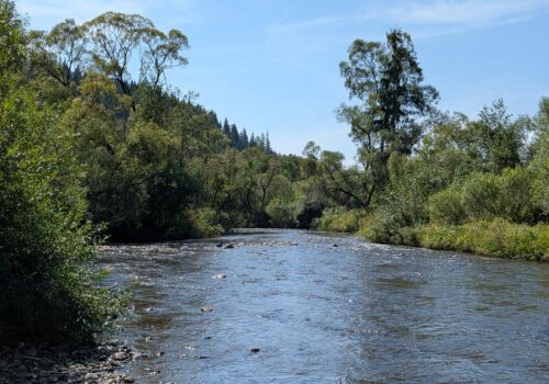
Fish fauna is often threatened by various investments or infrastructure projects, when authorities and conservation specialists may face situations where they need to prove the presence of a species in a given river or lake in order to protect the respective habitat (for example, the occurrence of the Huchen in the Răstolița stream was challenged by individuals and institutions who unconditionally supported the construction and operation of a dam),. In such cases, photographic evidence can greatly contribute to safeguarding the species’ populations. This is why the application also allows users to upload photos as proof.
The costs of creating, maintaining and managing the database are borne by the Milvus Group, and in order to cover at least part of these expenses, the Milvus Group may use the uploaded data. You can read more about the terms of use of the data at the following link.
We recommend this database to those who wish to support our conservation activities.
Registration on OpenFishMaps is free; you just need to request an invitation here.
Naturally, many questions can be raised concerning the ownership and use of the data, and we are aware that a number of issues are still not sufficiently clarified. At the same time, it must be taken into account that this project has a very limited budget, and those of us who have been working on the development and maintenance of this database on a voluntary basis for over five years have managed to bring it “only” to this level so far. The amount of work invested has been enormous, which is why we kindly ask you to also consider this perspective when looking at the database.
For the improvement of OpenFishMaps, we gladly welcome all constructive suggestions.
We wish you good catches and many fish species!


